
I found myself on Google Earth
- Thread starter Ryan
- Start date


It is creepy. Spy satellites can actually see a great deal of detail from up in orbit. Be able to do that for a long time. Creeps me out how we have less and less privacy. It would not suprise me if they could read our thoughts some day. 
It is creepy. Spy satellites can actually see a great deal of detail from up in orbit. Be able to do that for a long time. Creeps me out how we have less and less privacy. It would not suprise me if they could read out thoughts some day.
.
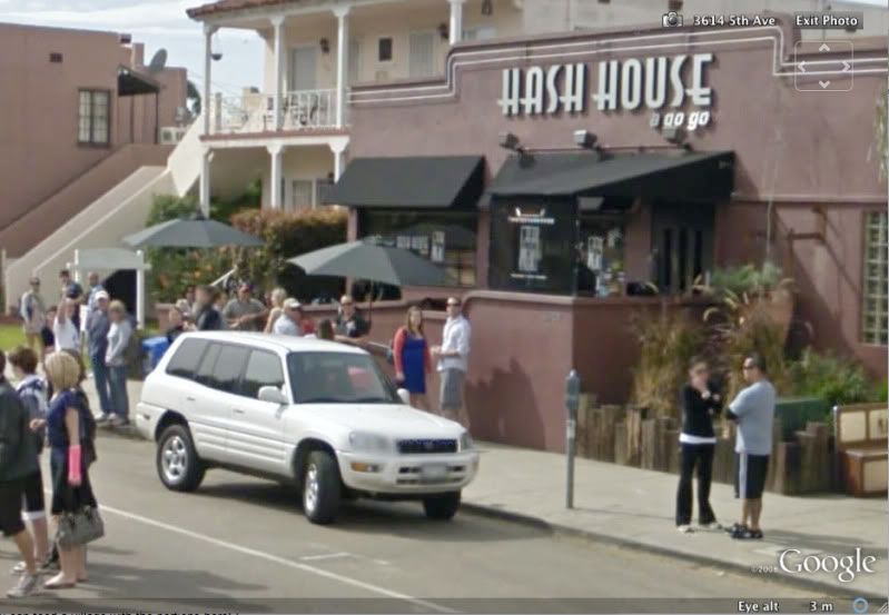
It's not a satellite. Google has a van that has cameras mounted on it and they drive the streets uploading the data. It's pretty cool though. They're also planning to map out popular trails that aren't car accessible sometime soon. The street view on Google maps helped me choose this house in Stockton before I rented it .
.
I was just reminded of satellite imagery. My brother worked in imagery, geodetics, mapping for the feds (retired now). He once said he was looking at a satellite image of Ghana. There was a basketball court. He could see there was no net on the basketball rims. This was from an orbiting satellite years ago.
Last edited: